ACI Marina Vodice
Bavaria Cruiser 33 "Homeoffice"
2013 9.99 m 2 4 + 1
15. March, 2023
Vodice, known as a vibrant and award-winning "tourist flower" of Croatia, has long been a favorite among both land-based travelers and sailing enthusiasts. Nestled along the Dalmatian coast, Vodice offers the perfect mix of modern marina infrastructure, lively entertainment, and close proximity to some of Croatia's most stunning archipelagos.
Whether you're interested in discovering hidden coves, sampling Dalmatian cuisine, or venturing through national parks, Vodice provides an exceptional starting point for your sailing holiday.
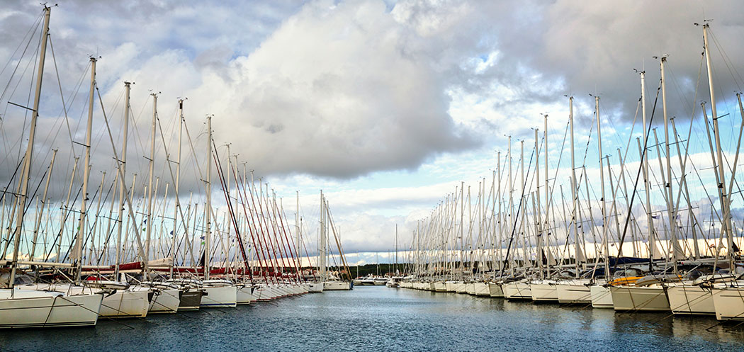
The ACI Marina Vodice is located on the northeastern side of Vodice harbor and operates year-round. It features 320 sea berths and 80 land berths, each equipped with water and electricity. The marina is well-supplied with essentials: a supermarket, coffee bar, reception, showers, toilets, and nearby dining spots. Its central location allows for easy access to town amenities and seamless logistics for yacht charters.
Vodice is also easily accessible via international airports in Zadar and Split, both approximately an hour away.
Often dubbed the "stone pearls of the Mediterranean," the Kornati islands form one of Croatia's most iconic sailing destinations. This national park comprises 89 islands, islets, reefs, and cliffs and offers a surreal landscape of rocky terrain, crown-shaped cliffs, and pristine waters.
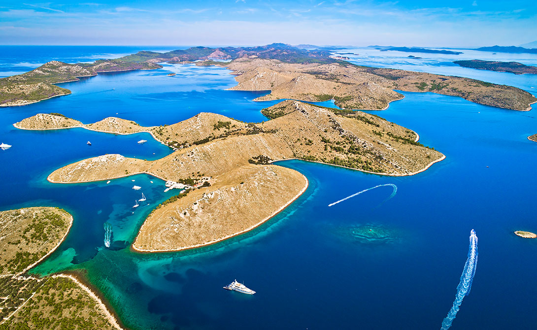
Highlights:
Sailing Tip: Anchor in the bays of Levrnaka or Vrulje. Permits are required to enter the national park.
Located at the southern entrance to Kornati National Park, Ravni Zakan is an uninhabited island offering peace and privacy. It's a favored stop for those seeking to relax after an active day of sailing.
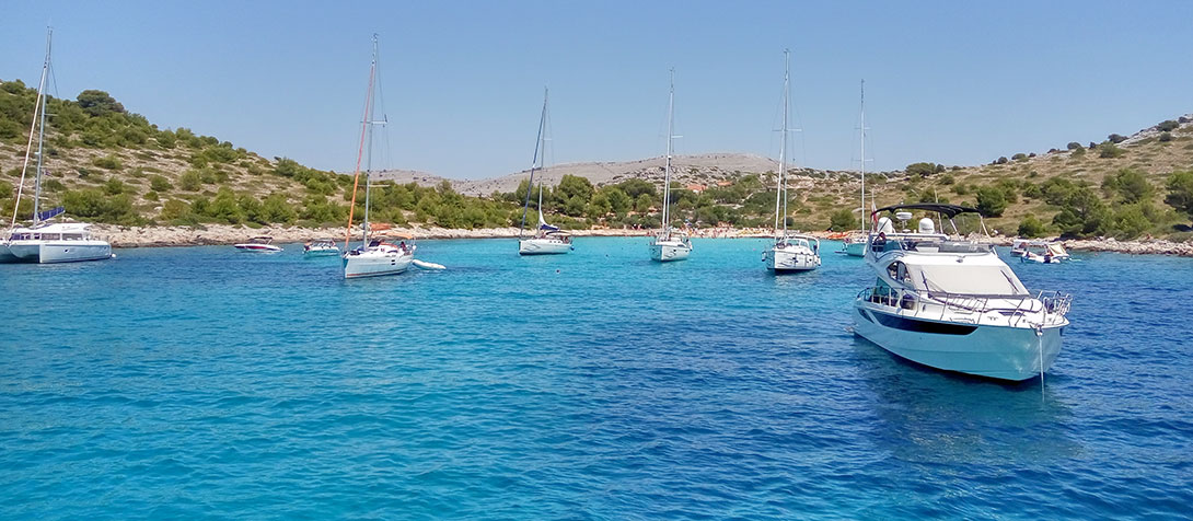
Why Visit:
Sailing Tip: Book ahead during high season if you plan to dine at the island’s restaurant.
Situated 11 miles southwest of Šibenik and just southeast of Kornati, Žirje is the largest island in the local chain. It's less crowded than other destinations and offers both cultural and natural attractions.
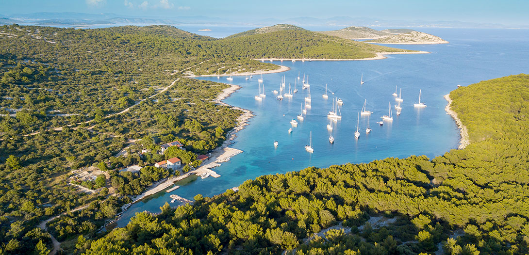
Highlights:
Sailing Tip: Vela Stupica Bay is well-protected from most winds except the Jugo (southeast wind). Head to the ridge-top ruins for a rewarding panoramic view.
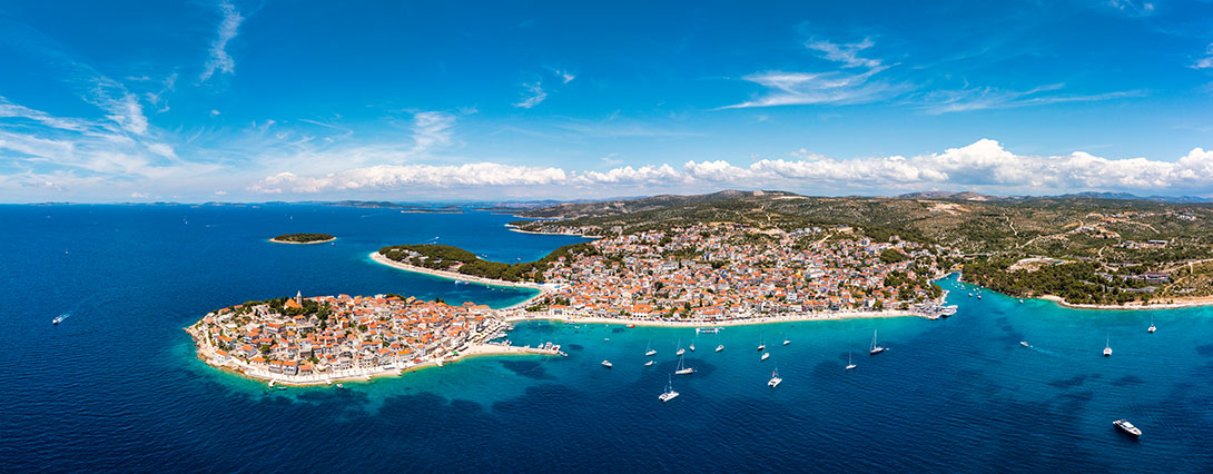
Roughly 12 miles south of Šibenik, Primošten is a historic coastal town originally built on an island. Today, it’s connected to the mainland by a causeway and serves as a charming cultural stop for sailors.
Why It Stands Out:
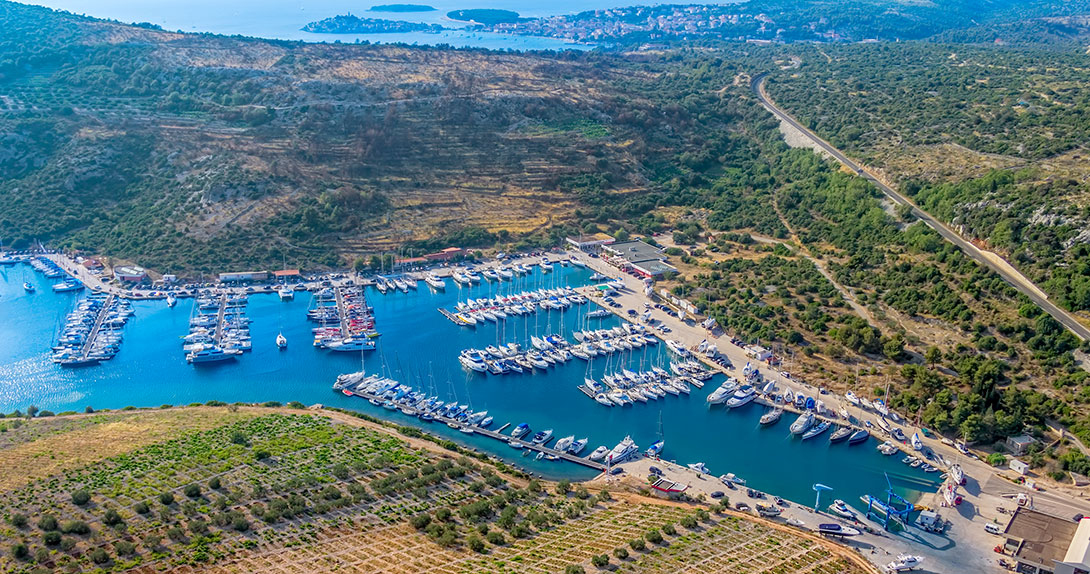
Sailing Tip: Avoid docking here in strong southwest winds. Marina Kremik, 2 miles SSE, provides better protection.
Whether you're chartering with or without a skipper, Vodice offers a range of itinerary options:
Many charter companies based in Vodice offer flexible routes, personalized guides, and local sailing support.
Vodice isn’t just a picturesque coastal town, it’s a strategic and scenic launchpad for exploring some of Croatia’s most iconic sailing destinations. With world-class marina facilities, close access to national parks, and an endless array of islands, Vodice is your gateway to a memorable sailing adventure.
Whether you're planning a short island-hopping escape or an extended yacht charter, sailing from Vodice will reward you with unforgettable views, rich cultural stops, and some of the best sailing routes in Croatia.
ACI Marina Vodice
2013 9.99 m 2 4 + 1
ACI Marina Vodice
2023 12.85 m 4 + 1 8 + 2 + 1
ACI Marina Vodice
2023 12.85 m 4 + 1 8 + 2 + 1
Working Hours:
Mon - Fri 08:00h - 16:00h
For any questions
Angelina Yachtcharter uses both our own cookies and cookies from third parties to be able to improve your experience on the website. We also use the information to evaluate the use of various functions on the site and to support the marketing of our services.
We use cookies to enhance your browsing experience. Learn more about our cookies policy by visiting Cookie Policy page.